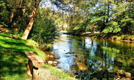
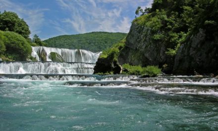
River Trebišnjica Main Features:
Length: 96 km, with underground flows 187 km
Source: Originating from two streams from Lebršnik i Čemerni
It flows into: three streams, the Adriatic Sea
Municipalities: Trebinje, Bileća
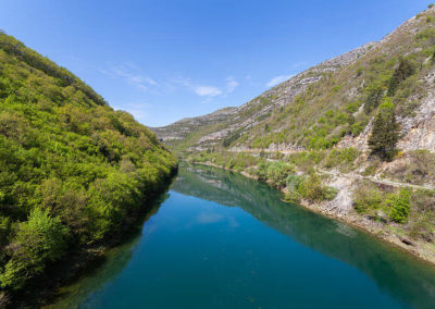
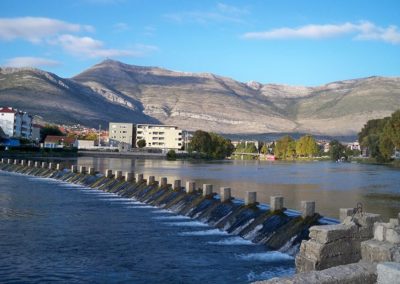
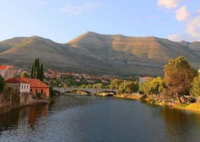
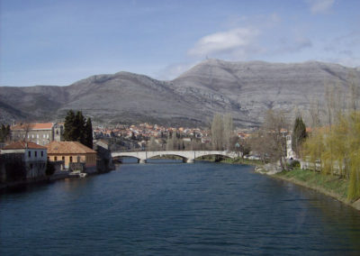
Trebišnjica is about 96 km long, and with underground flows the total length is 187 km. It forms a complex of underground and overhead waters with the final origin at the Adriatic Sea. Before the construction of the hydroelectric plant, Trebišnjica was the longest natural underground river in the world. Because of the frequent flooding of Popovo Polje, in the 60’s it was decided to try to restrain the river, which was only possible by constructing hydroelectric power plants. After that Trebišnjica has had large changes, from the construction of the canal, the concreting of the trough, the construction of accumulations etc. This is how two artificial lakes were created: Billika Lake and Goričko Lake.
Human activity led to the disappearance of endemic plant species such as hemp, and reduced animal species such as manfish and Gaovica fish.
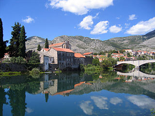
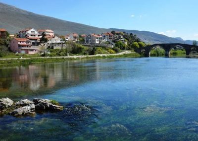
Due to the peaceful flow, the Trebišnjica River favors the development of sports disciplines. It has a very rich fish fund, which makes it a great attraction for fishermen. Along the banks of the river there are numerous excursion sites of which are the most popular excursion sites Studenac and Lastva. Also, tourists have an interesting large number of bridges that connect the shores of Trebišnjica. The bridge, Ivo Andrić Bridge, and Kameni bridge.
From 2019. The tourist offer was expanded with ten boats in Trebinje, which were made according to the traditional drafts.


